
Location Verified
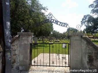
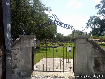
Huguenot Cemetery
Address
- Street:
- A1A Orange Street
- City:
- Saint Augustine
- State:
- Florida
- Zip Code:
- 32084
- County:
- Saint Johns
- Phone:
- 904-825-1004
Location
- GPS Coordinates:
- 29.89819, -81.314194
- Maps:
Facts
- Also Known As:
- Saint Augustine Public Burying Ground
- Active:
- No
- Condition:
- Good
- Established:
- 1821
- First/Oldest Burial:
- Unknown
- Affiliation:
- Access Type:
- Private
- Historic Site:
- Unknown
- Website:
- None
- Cemetery Map:
- None
- Notes:
The Huguenot Cemetery (also known as the St. Augustine Public Burying Ground) in St. Augustine, Florida, located across from the historic City Gate, was a Protestant burial ground between 1821 and 1884. The Spanish colonial city of St. Augustine, along with the entire Florida Territory, became de facto American possessions after the 1819 signing of the Adams-Onis Treaty. The actual physical occupation of the city and Florida territory occurred in 1821.
Before American occupation, the Spanish city of St. Augustine was predominately Catholic, and the only burial ground within the city, the Tolomato cemetery, was reserved for Catholics. Recognizing a need for a formal Protestant burial ground, the new American administration in St. Augustine chose an area just outside the city gate. The first burials occurred in 1821, just before a yellow fever epidemic that claimed the lives of many of the city's inhabitants.
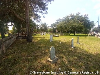
The cemetery until title to the cemetery property was acquired by the Rev. Thomas Alexander, who then turned it over to the Presbyterian Church in 1832. Burials continued until 1884, when both Huguenot and Tolomato cemeteries were closed. According to city records, the cemetery is believed to hold at least 436 burials. The cemetery, although named "Huguenot Cemetery," isn't believed to contain any members of the Huguenots, a French Protestant sect started in the 16th century in France.
Images
Last Update
- 08 July 2023

