
Location Verified
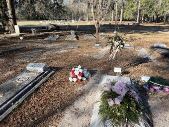
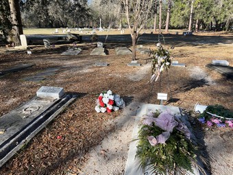
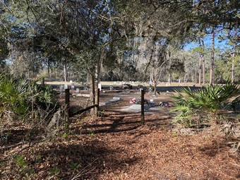
Monument Cemetery
Address
- Street:
- 5815 US Highway 90
- City:
- Sanderson
- State:
- Florida
- Zip Code:
- 32087
- County:
- Baker
- Phone:
- 386-758-0400
Location
- GPS Coordinates:
- 30.212464, -82.390527
- Maps:
Facts
- Also Known As:
- Olustee Battlefield State Historic Site Cemetery, Union Cemetery at Olustee Battlefield
- Active:
- Yes
- Condition:
- Good
- Established:
- 1864
- First/Oldest Burial:
- Unknown
- Affiliation:
- National/Military
- Access Type:
- Public
- Historic Site:
- Yes
- Website:
- None
- Cemetery Map:
- None
- Notes:
Located in the Olustee Battlefield Historic State Park.
Florida's largest Civil War battle took place on Feb. 20, 1864.
Over 10,000 cavalry, infantry, and artillery troops fought a five-hour battle in a pine forest near Olustee. Three U.S. Colored Troops, including the now-famous 54th Massachusetts, participated in the battle. The battle ended with 2,807 casualties and the retreat of Union troops to Jacksonville until the war's end just 14 months later.
In 1912, when many living Civil War veterans still attended reunions, the battlefield became the state's first historic site.
Interment Sites
Images
- Donated By:
- Dr. Richard Marks
- Donated By:
- Dr. Richard Marks
Last Update
- 26 March 2023

